I recently opened Henry David Thoreau’s Cape Cod to check on a quote for another post, and started re-reading. To my surprise, I found that I was understanding this classic in a whole new way. Now that I’ve worked my way through a good deal of South Wellfleet history and many other historic pieces written about the outer Cape, I was “getting Henry” in a new way. I began thinking of his famous walk as traversing through our own South Wellfleet.
After spending the night at an Orleans hotel, Thoreau and his friend William Ellery Channing, a poet and the nephew and namesake of Boston’s great Unitarian preacher, walked north through Eastham. They were headed toward the ocean, to the site of the

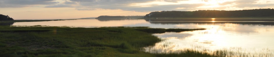
Three Sisters Lighthouses
U.S. Coast Guard photo
Three Sisters lighthouses — three small brick lighthouses erected in 1838 above Nauset Beach.
It was raining and blowing on this day, October 11, 1849. This was the first of Henry David Thoreau’s Cape visits, and he returned in 1850, 1854 and 1855. Thoreau wrote about the visits in his journal. He lectured and published first in a series of articles in Putnam’s Monthly Magazine in 1855. After he died of consumption in 1862 at the young age of 44, his sister Sophia and friend Channing published the book Cape Cod in 1865.
The 1849 “Thoreau walk” from Nauset to Provincetown provides the organization of the book, and includes observations that he collected on his subsequent trips. (Of course, the beach he walked on may be 400 feet further offshore today.)
Here are the two men starting their Back Shore walk at Nauset beach, umbrellas up to ward off the mist and rain, and, Thoreau says, reading Eastham’s history as they walk. The book is Enoch Pratt’s 1844 “Comprehensive History of Eastham, Wellfleet and Orleans.” This was the first published history of these outer Cape towns (earlier writing had been
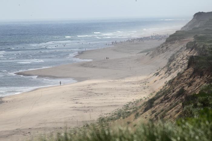
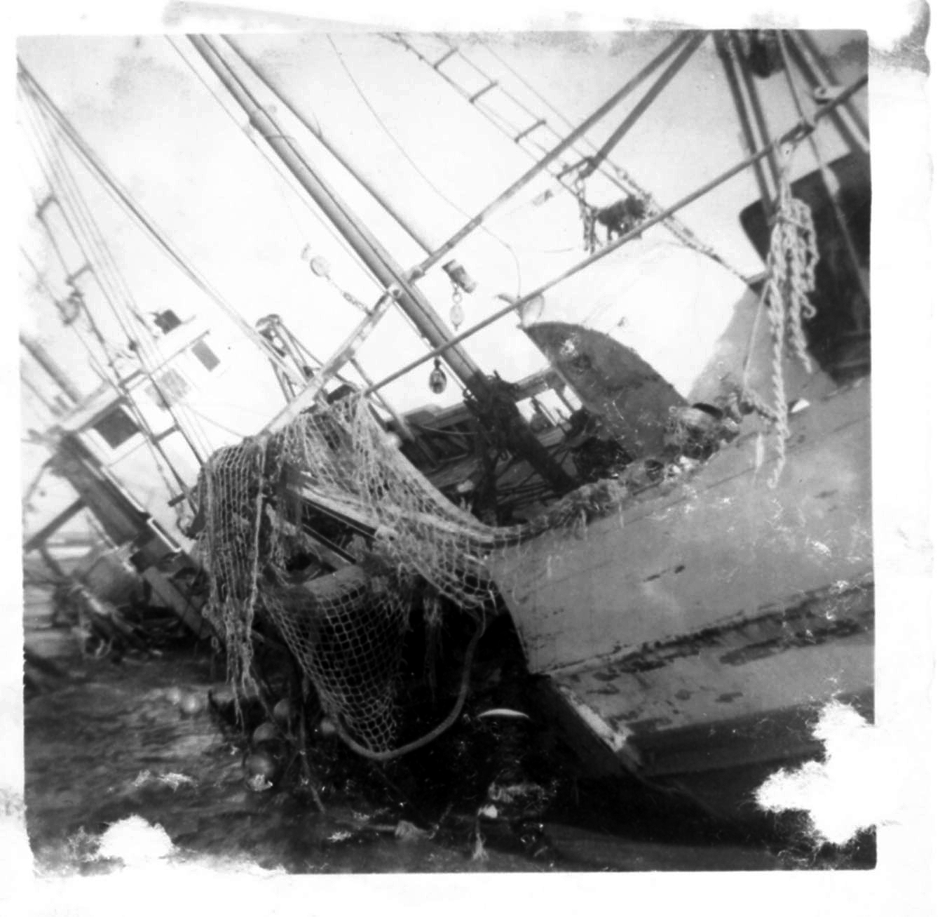
The Back Shore in South Wellfleet
about the Pilgrim’s explorations in 1620) and focused somewhat on the ecclesiastical history of Eastham. Thoreau adds a dash of humor to his description of the town, particularly about the ministers of Eastham depending on beached whales for their compensation. He mocks the Pilgrims from Eastham as they grabbed the Indian land that became Wellfleet, since they were told “not any” own it. (They had to settle up later.) Thoreau makes “Not Any” every Native American faced with the European snatching of their land. “Not Any” appears to have been the sole proprietor of all America before arrival of the Yankee. Thoreau jokes that Lieutenant Anthony, our South Wellfleet Native American for whom Lieutenant’s Island is named, “may be knocking at the door of the White House some day.”
Thoreau is also a bit jokey about the Millennial Grove in North Eastham, the site of many summer Methodist Camp meetings, before they moved further up Cape to be closer to the railroad. These remarks about religion, the sacred Pilgrim Fathers, his description of the Cape’s sandy, desert-like landscape, as well as a few pointed remarks about the appearance of Cape women, did not endear him to many Cape Codders. There were several disparaging pieces about how he simply did not understand the Cape and its way of life.
The book did not take on the sacred nature it holds today until much later in the 19th century. By the time that tourists came in great numbers at the start of the 20th century, the book was for sale at many summer tourist shops. Its depiction of many Cape characters, such as the Wellfleet Oysterman, may have helped create that early Cape brand as a land of many odd inhabitants.
We learn that Thoreau and Channing walk for a while and meet a “wrecker” on the beach, looking for the bolts of “tow cloth” that was part of the cargo of the wrecked Franklin, which had run aground in Wellfleet in March 1849. (Tow cloth was a coarse, heavy linen used to make work clothing.) The wrecker directs Thoreau and Channing to climb up from the beach at Snow’s Hollow, the first such hollow in South Wellfleet, nearest to the now-lost village of Fresh Brook. Thoreau uses an early piece of writing about the outer Cape “Description of the Eastern Coast of the County of Barnstable” (1802) which describes the “hollows” in the landscape along the Back Shore, places where a shipwrecked sailor could climb up the dune, and which way to turn to find the nearest house. These hollows are what was left of streams that had run down from the face of the retreating glacier that formed the Cape.
Before moving to the pages on the “Charity Huts,” Thoreau stops for a moment and writes about the land of South Wellfleet, called by the sailors “The Plains of Eastham”:
Here in Wellfleet, this pure sand plateau, known to sailors as the Table-lands of Eastham,… as seen from the ocean… stretched away northward from the southern boundary of the town, without a particle of vegetation, — as level almost as a table, — for two and a half or three miles, or as far as the eye could reach… We were traversing a desert, with the view of an autumnal landscape of extraordinary brilliancy, a sort of Promised Land, on the one hand, the ocean on the other.
By “mid-afternoon” Thoreau and Channing reach a “charity house” – one of the one-room huts that the Massachusetts Humane Society had erected on the top of the dune, a place where wrecked sailors could find shelter. Thoreau quotes from the 1802 publication named above in describing the charity huts, mentioning a specific hut in Truro. If his 1849 writing describes what he found on this first walk, in the order in which he found it, then the charity hut must be in Wellfleet, before he reaches the (now famous) Wellfleet Oysterman’s house, later identified as John Newcomb’s, near Gull Pond and Newcomb Hollow. Of course, it’s always possible that Thoreau worked this charity hut material into the narrative at this point, and may have visited another hut further up the coast. (At least one writer I found indicates that the hut Thoreau visited was in Truro.) In his memory piece on Wellfleet, Charles Cole describes a charity house put up by the Humane Society “about ½ mile north of the Hollow near Cook’s Camps.” I wonder if this is the hut that Thoreau visited.
The wreck of the Franklin is cited several times throughout the book. A few months ago, I wrote a blog piece about South Wellfleet’s Captain Isaiah Hatch and his son. The wreck also turned up a veritable treasure of seeds: when Thoreau visited the Wellfleet

John Newcomb’s House (Library of Congress photo)
Oysterman, John Newcomb, he noticed his garden plantings of cabbage, broccoli, and parsley.
In re-reading Thoreau, I can see that he must have met Captain Hatch, although he does not name him. In the chapter “The Beach Again” he speaks about him:
Another [man], the same who picked up the Captain’s valise with the memorable letter in it, showed me, growing in his garden, many pear and plum trees which washed ashore from her, all nicely tied up and labelled, and he said that he might have got five hundred dollars worth; for a Mr. Bell was importing the nucleus of a nursery to be established near Boston. His turnip-seed came from the same source. Also valuable spars from the same vessel and from the Cactus lay in his yard. In short the inhabitants visit the beach to see what they have caught as regularly as a fisherman his weir or a lumberer his boom; the Cape is their boom.
Then in the next paragraph Thoreau writes one of my favorite passages:
But are we not all wreckers contriving that some treasure may be washed up on our beach, that we may secure it, and do we not infer the habits of these Nauset and Barnegat wreckers, from the common modes of getting a living?
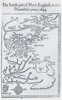
About three years ago, as I was starting to research South Wellfleet history, I found a scrap of Thoreau’s map of Cape Cod, in a book published for the 300th anniversary of Eastham. I saved it, since this small map included part of South Wellfleet, with Thoreau’s note on the possibility of growing corn in the eastern side of North Eastham/South Wellfleet. Now that map is readily accessible online, having been made available at the Concord Free Public Library. With my added knowledge of South Wellfleet’s history, I was drawn to Thoreau’s notes on the map all understandable with the exception of one mysterious notation on the east coast of South Wellfleet: “Lombard’s Hd.” Here’s the Cape Cod Map.
Thanks to the Concord Free Public Library, I soon had a verification of these letters,

Henry David Thoreau
noting Lombard’s Head, but with no idea as to what it meant. Thanks to another Thoreau scholar, I learned that “Lombard Head” was on an 1848 map of Wellfleet produced by the Coast and Geodetic Survey, the national project begun under President Jefferson. Thoreau had set himself up as a self-taught surveyor, and was no doubt interested in this map, a part of the national effort to measure the coast. There were Lombards in Wellfleet, with one branch of the family in South Wellfleet. I’ll write about the Coastal Survey later.
If you wish to read Cape Cod again, here is a useful link.
Sources
1848 Coastal and Geodetic Survey Map of Wellfleet supplied by Chet Lay.
Henry David Thoreau, Cape Cod – I used an online version, cited above
New Englander and Yale Review Vol 24 Issue 92 (July 1865) “Notices of New Books.”
“Thoreau Walks the Cape” online at www.AmericanHeritage.com